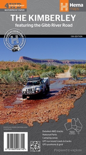
Essential Map Of The Kimberley, Australia
All the Kimberley Maps you'll ever need are on this page. I'll also show you the best road map of the Kimberley in Australia.
It's the most detailed and the most accurate map of the Kimberley that's available.
Don't leave home without it!
The Best Kimberley Map
The Kimberley map that I recommend is produced by HEMA. It's the best map of the Kimberley for tourists, period.
This is not just a personal preference of mine.
The HEMA Kimberley map is the map that you see laminated and glued to the desk of every tourist information centre in the Kimberley.
Why? Because it's the map that best helps the people behind the desk answer your questions.
This Kimberley map is more than just a road map. It has and does everything that you expect from an excellent road map. (Even though we have many more tracks than real roads, they're all there.) But this Kimberley map also:
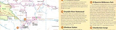
- Highlights all the attractions, reserves, national parks etc, and gives you a short description of what there is to see and do.
There is also a lot of important travel information, for example about the quarantine at the WA border. Everything you need to know.
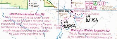
- Shows exactly what services are available at the remote roadhouses, stores and wilderness camps.
- Lists GPS coordinates for every roadhouse, landmark, Aboriginal community, anything that has a name...
- Lists phone numbers for wilderness camps, tour operators, national park offices, shire offices, main roads offices and other government departments, anything you could need on your trip.
(Even phone numbers of cattle stations if they happen to have a nice gorge on their property, so you can ring them and ask for permission to camp there.) - On the back you have a larger scale map of just the Gibb River Road, again with explanations of all the sights along the way.
- And on top of all that you get a bunch of beautiful pictures of the Kimberley and a short travel guide for the region.
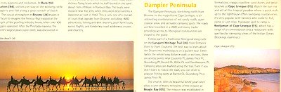
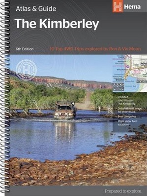
The HEMA Kimberley map is an excellent Kimberley map and a great picture travel guide all in one.
It's a must have map, unless, of course, you have the HEMA Kimberley Atlas & Guide!
You might also want to look at Gibb River Road Maps.
Return to Maps Of Western Australia
Travelling to the Kimberley?
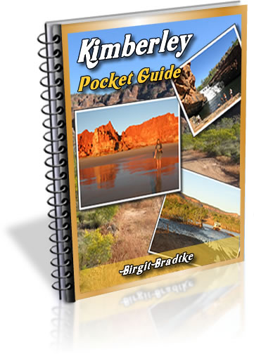
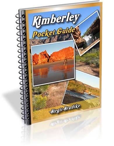
The FREE Kimberley Pocket Guide
A great introduction to travel in the Kimberley region and along the Gibb. This free resource will answer all the questions you might have in the early stages of planning a trip.
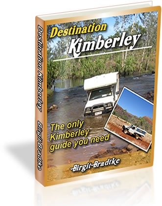
Destination Kimberley
The full Kimberley travel guide shows you how to make the most of your adventure at Australia's last frontier. Destination Kimberley includes the most detailed and most current guide to the Gibb River Road available anywhere. Also called "The Bible" by its readers.
Travelling to the Northern Territory?
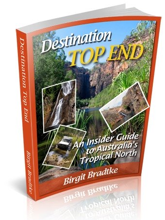
Destination Top End offers the same comprehensive, detailed insider information for the tropical regions of the Northern Territory. Be the best informed traveller in the Kakadu, Litchfield and Katherine Gorge national parks and beyond!
A must have if you travel to or from Darwin.
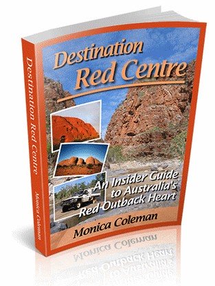
NEW! Destination Red Centre is the latest addition in this popular series. Monica Coleman takes you through Australia's red Outback heart, offering all the detail and insider tips that you have come to know and love about our guides. With special emphasis on Aboriginal communities and culture.
A must have if you travel to or from Alice Springs/Uluru.
Thanks for visiting! Have you
requested your free guide book yet?
I offer a free guide to the Kimberley plus a free, very popular newsletter.
If you plan to visit the Kimberley, you can't afford to miss either.
Don't believe me? Learn more about the free pocket guide here and see the newsletter archives here.
SUBSCRIBE ABOVE TO RECEIVE YOUR FREE KIMBERLEY POCKET GUIDE!
DESTINATION KIMBERLEY, ALSO KNOWN AS "THE BIBLE".
DESTINATION TOP END, YOU NEED THIS IF YOU ARE TRAVELLING TO OR FROM DARWIN
DESTINATION RED CENTRE, THE LATEST ADDITION TO THIS POPULAR SERIES, COVERS THE OUTBACK AROUND ALICE SPRINGS AND ULURU