Gibb River Road Fuel Availability
Distances between Fuel Stops on the Gibb River Rd.
Generally it is not a big problem to find fuel supplies on the Gibb River Road.
The distances between the service stations are reasonable. If you drive a diesel car, that is. Petrol is a bit harder to come by. There is no LP gas.
If you have a small tank/very thirsty car you may be forced to make a detour into El Questro on the eastern side of the Gibb, something most people do anyway.
However, if you intend to do a lot of exploring on the side tracks you will probably want to take a jerry can or two of extra fuel. Distances on the Gibb River Road itself may not be that big, but there certainly is a lot of opportunity to increase them when exploring on the side tracks. Many attractions have access tracks that add to the kilometre count.
There is no single answer regarding what distance range or amount of fuel you need to "do the Gibb River Road". It really depends on how much time you have and what exactly you want to do.
There are two main roadhouses on the Gibb River Road itself, and a couple more places where you can fill up if you leave the main road, say to head up towards the Mitchell Plateau or Kalumburu.
Below you find a list of distances between the places that sell fuel in the Gibb River Road area. I listed both direct distances and also the overall distances driven if you include some of the major attractions on the way.
Hope you can make sense of it.
Imintji Roadhouse is indeed open again as of May 11, 2016!
Gibb River Road: distances between main fuel stops/service stations - Derby to Kununurra
- Derby >> 227 km >> Imintji Roadhouse (diesel only) >> 78 km >> Mt. Barnett Roadhouse (Manning Gorge) >> 407 km >> Kununurra
- For petrol cars: Derby >> 305 km >> Mt. Barnett Roadhouse (Manning Gorge) >> 407 km >> Kununurra
The last leg is 5 km shorter if you go to Wyndham instead of Kununurra.
With detour to El Questro:
- Mt. Barnett Roadhouse >> 337 km >> El Questro Station Township >> 102 km >> Kununurra (or 97 km to Wyndham)
With detour to Kalumburu/Mitchell Plateau:
- Mt Barnett Roadhouse >> 171 km >> Drysdale River Homestead >> 206 km >> Kalumburu
- Kalumburu >> 206 km >> Drysdale River Homestead >> 355 km >> Kununurra (or 350 km to Wyndham, or 286 km to El Questro)
- Drysdale River Homestead - Mitchell Falls - Kalumburu: 376 km
- Drysdale River Homestead - Mitchell Falls - Drysdale River Homestead: 376 km
(Yep, Drysdale and Kalumburu are the same distance from the Mitchell Plateau Track turn-off.)
Distances between individual fuel supply points if visiting attractions along the way
- Derby - Imintji Roadhouse via Bell Gorge: 285 km
Derby - Mt. Barnett Roadhouse via Bell Gorge (petrol cars): 363 km - Derby - Imintji Roadhouse via Bell Gorge plus detour to Windjana/Tunnel Creek: 395 km
Derby - Mt. Barnett Roadhous via Bell Gorge plus detour to Windjana/Tunnel Creek (petrol cars): 473 km - Fitzroy Crossing (Geikie Gorge) - Imintji Roadhouse: 227 km
Fitzroy Crossing - Mt. Barnett Roadhouse (for petrol cars): 305 km - Fitzroy Crossing - Imintji Roadhouse via Bell Gorge: 285 km
Fitzroy Crossing - Mt. Barnett Roadhouse via Bell Gorge (petrol cars): 363 km
(Windjana Gorge and Tunnel Creek are on the way if you come from Fitzroy Crossing.) - Imintji Roadhouse - Mt. Barnett Roadhouse via Mornington Wilderness Sanctuary: 242 km
(Allow for an additional 50 - 100 km, depending on how much exploring you want to do.)
Add 227 km (from Derby) or 285 km (from Fitzroy Crossing) for petrol cars.
As you can see, if you want to see the main gorges and Mornington and you have a petrol car, then you will definitely need to carry extra fuel.
What I haven't included are the additional distances required if you want to visit places like Mt. Hart, Charnley River or Mt. Elizabeth. The reason is that it's impossible to predict how many kilometres you will drive since all of them also have 4WD tracks, gorges, lookouts and swimming holes on their land which require additional driving. It depends what you plan to do.
The one way distances off the Gibb River Road (just their main access tracks to the homestead) are as follows:
- Mount Hart: 49 km
- Charnley River: 42 km
- Mount Elizabeth: 29 km
Return to Gibb River Road main page.
Travelling to the Kimberley?
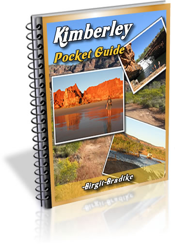
The FREE Kimberley Pocket Guide
A great introduction to travel in the Kimberley region and along the Gibb. This free resource will answer all the questions you might have in the early stages of planning a trip.
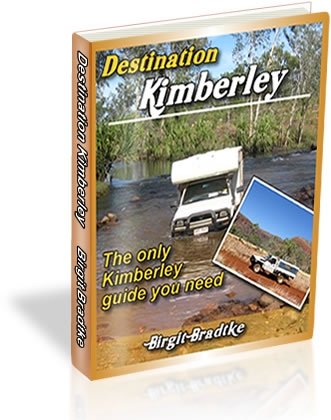
Destination Kimberley
The full Kimberley travel guide shows you how to make the most of your adventure at Australia's last frontier. Destination Kimberley includes the most detailed and most current guide to the Gibb River Road available anywhere. Also called "The Bible" by its readers.
Travelling to the Northern Territory?
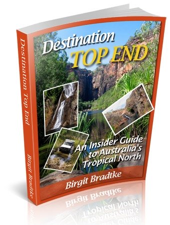
Destination Top End offers the same comprehensive, detailed insider information for the tropical regions of the Northern Territory. Be the best informed traveller in the Kakadu, Litchfield and Katherine Gorge national parks and beyond!
A must have if you travel to or from Darwin.
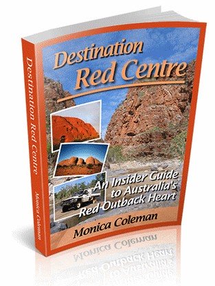
NEW! Destination Red Centre is the latest addition in this popular series. Monica Coleman takes you through Australia's red Outback heart, offering all the detail and insider tips that you have come to know and love about our guides. With special emphasis on Aboriginal communities and culture.
A must have if you travel to or from Alice Springs/Uluru.
Thanks for visiting! Have you
requested your free guide book yet?
I offer a free guide to the Kimberley plus a free, very popular newsletter.
If you plan to visit the Kimberley, you can't afford to miss either.
Don't believe me? Learn more about the free pocket guide here and see the newsletter archives here.
Return to Gibb River Road main page.
SUBSCRIBE ABOVE TO RECEIVE YOUR FREE KIMBERLEY POCKET GUIDE!
DESTINATION KIMBERLEY, ALSO KNOWN AS "THE BIBLE".
DESTINATION TOP END, YOU NEED THIS IF YOU ARE TRAVELLING TO OR FROM DARWIN
DESTINATION RED CENTRE, THE LATEST ADDITION TO THIS POPULAR SERIES, COVERS THE OUTBACK AROUND ALICE SPRINGS AND ULURU