Kimberley Pictures
A Kimberley Photo Gallery
You can find Kimberley Pictures all through this website (together with lots of information about travel in the Kimberley). But that was not always the case. When I first started this website most people were still on dial up, loading times were sloooow, therefore any photos I used on the website were very small.
That was the reason I initially created this Kimberley photo gallery, to have a few pages where I could use larger pictures.

Times have changed and today you can find stunning, professional imagery of the Kimberley all over the web.
My photos are not like that. I am not a professional photographer by a long shot. I don't even like many of the professional photos, especially the glossy, artificial looking ones used in tourism brochures and for marketing purposes. Stunning as they are, they do not portray what you will find when you visit us.
What you can see on my website are the kinds of photos that you yourself will bring home from your trip if like me you are an average photographer with an average, idiot-proof camera. They were taken by me or by my readers.
My aim is not to dazzle you with my photography skills or artistry but to show you where I live.
So, with that said, click your way through the ex-photo-gallery pages below or browse through the rest of the website (see "Attractions" in the top menu) to find plenty of photos from and lots of information about the Kimberley.
Kimberley Photo Gallery
- Kimberley Pictures, On The Road
- Kimberley Pictures, In The Air
- The Bungle Bungles
- The Mitchell Falls
- The Gibb River Road
- Lake Argyle
- Cable Beach, Broome
Kimberley Pictures - On The Road
Kimberley Country: Red Rocks and Palm Trees


Pictures like these are typical of the East Kimberley. Weathered red sandstone formations, Livistona palms, Pandanus palms, gum trees, figs, acacias, grevilleas and an assortment of shrubs and grasses...
On The Road, Broome To Cape Leveque, West Coast

The Kimberley west coast looks different. It's still red, but the emphasis is on sand rather than sandstone. The vegetation is lower, more open, the country is dryer. Instead of gorges and waterfalls you will find beaches and the ocean.

On The Road, Kununurra To Lake Argyle, East Kimberley


Ayers Rock in the Kimberley? No, this is not a monolith but a glimpse of the tail end of the Carr Boyd Ranges between Kununurra and Lake Argyle.
The drive from Kununurra to the lake is magnificent, especially in the afternoon. The road windss right through and over the ranges and red, red rocks.
On The Road, Kununurra to Wyndham, East Kimberley


Different colours, different vegetation. And boab trees!
The old, unsealed highway between Kununurra and Wyndham, called Parry Creek Road, follows the Ord River. The soils along the river are different, and so is the vegetation. This is particularly obvious in the first photo.
The second picture was taken on a side track of the main road, further away from the water. You see a difference in the colour of the road. Parry Creek road is sheeted with light coloured gravel, whereas this track is in its natural state.
The Wet Season


All of these pictures were taken near my house and show typical wet season skies with low hanging clouds. It would have been drizzling on and off for much of the day and the temperatures would have been just perfect. (The average wet season day is stinking hot.)
Maybe a photographer can explain it, I can't, but during the wet season the colours are particularly intense, everything seems to glow.
More Kimberley Photos:
- Kimberley Pictures, In The Air
- The Bungle Bungles
- The Mitchell Falls
- The Gibb River Road
- Lake Argyle
- Cable Beach, Broome
Travelling to the Kimberley?
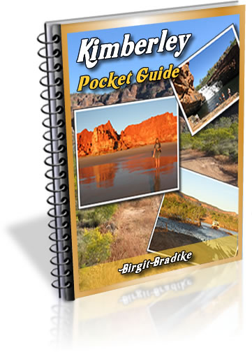
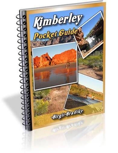
The FREE Kimberley Pocket Guide
A great introduction to travel in the Kimberley region and along the Gibb. This free resource will answer all the questions you might have in the early stages of planning a trip.
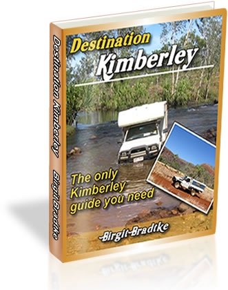
Destination Kimberley
The full Kimberley travel guide shows you how to make the most of your adventure at Australia's last frontier. Destination Kimberley includes the most detailed and most current guide to the Gibb River Road available anywhere. Also called "The Bible" by its readers.
Travelling to the Northern Territory?
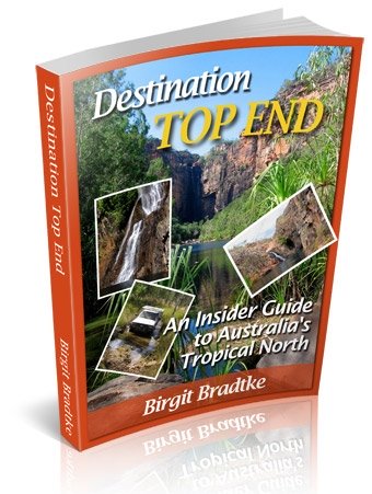
Destination Top End offers the same comprehensive, detailed insider information for the tropical regions of the Northern Territory. Be the best informed traveller in the Kakadu, Litchfield and Katherine Gorge national parks and beyond!
A must have if you travel to or from Darwin.
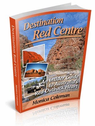
NEW! Destination Red Centre is the latest addition in this popular series. Monica Coleman takes you through Australia's red Outback heart, offering all the detail and insider tips that you have come to know and love about our guides. With special emphasis on Aboriginal communities and culture.
A must have if you travel to or from Alice Springs/Uluru.
Thanks for visiting! Have you
requested your free guide book yet?
I offer a free guide to the Kimberley plus a free, very popular newsletter.
If you plan to visit the Kimberley, you can't afford to miss either.
Don't believe me? Learn more about the free pocket guide here and see the newsletter archives here.
More Kimberley Photos:
SUBSCRIBE ABOVE TO RECEIVE YOUR FREE KIMBERLEY POCKET GUIDE!
DESTINATION KIMBERLEY, ALSO KNOWN AS "THE BIBLE".
DESTINATION TOP END, YOU NEED THIS IF YOU ARE TRAVELLING TO OR FROM DARWIN
DESTINATION RED CENTRE, THE LATEST ADDITION TO THIS POPULAR SERIES, COVERS THE OUTBACK AROUND ALICE SPRINGS AND ULURU